Grenoble -around
the Railway.
7- From the 'Estacade' flyover to the Allies bridge.
-disused,
forgotten, taken away or
abandoned lines.
7- From the 'Estacade' flyover to the Allies bridge.
All
the pictures can be enlarged with a mouse click!

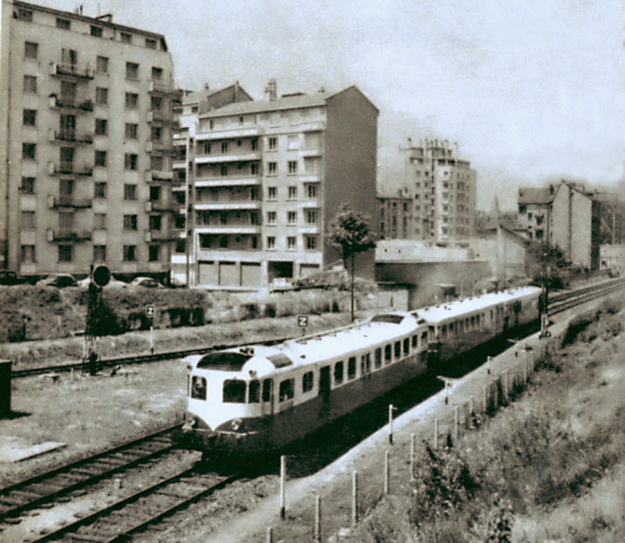
52- A Decauville XDC52100 arrives from the station.

53- The Foch bridge now, looking south.
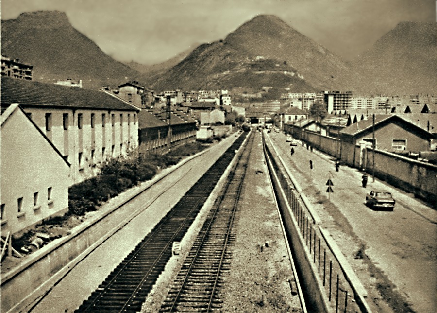
Leaving Grenoble railway station, the trains ran either
to Veynes, by the mythical Alpine route, or to Montmélian, via the
'Capuche', the Abbaye, the 'Croix Rouge' and Gières. One way or the
other, the train service was very important for the factories located
along the line, with it's many private sidings.
When the line towards Savoy was moved further south towards
Echirolles and Eybens in 1967, the old line was reduced to a single
track which
continued to function until the
1970's, serving various factories and warehouses as far as the 'Croix
Rouge'..
In the two pictures above, we see the state of the rail tracks before
1968 and now. As for us, we will follow the Veynes line up until the
Rondeau, visiting some points of interest on the way.

54- The track shines in the sun, view south from Foch bridge
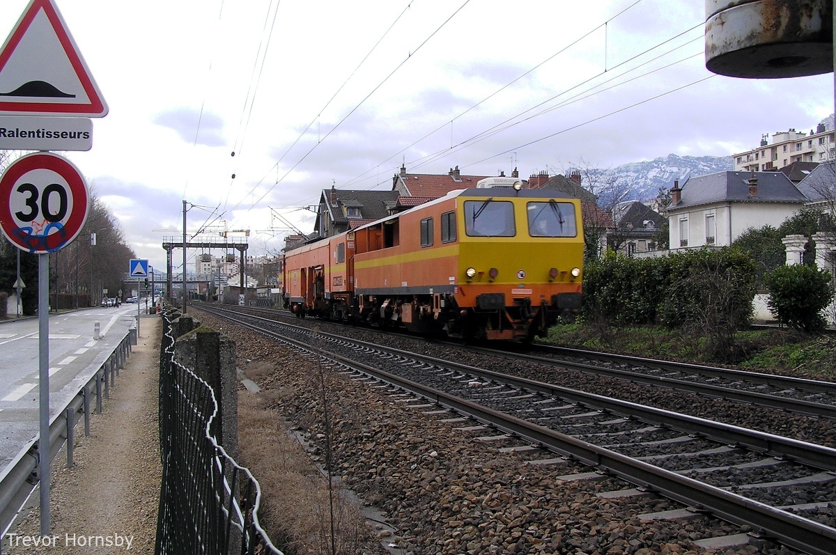
55- Passage of a ballast tamper.

56- Rochambeau level crossing and the keeper's house.
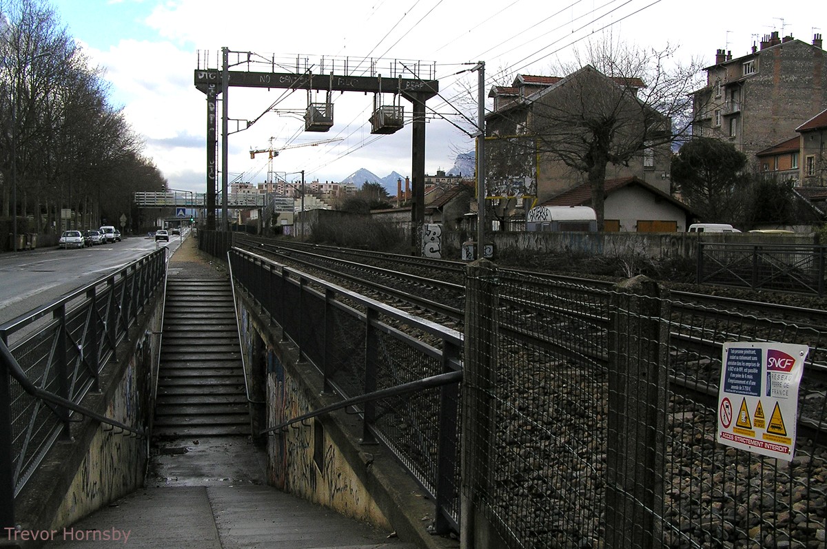
57- Rochambeau level crossing, now an underground passage.
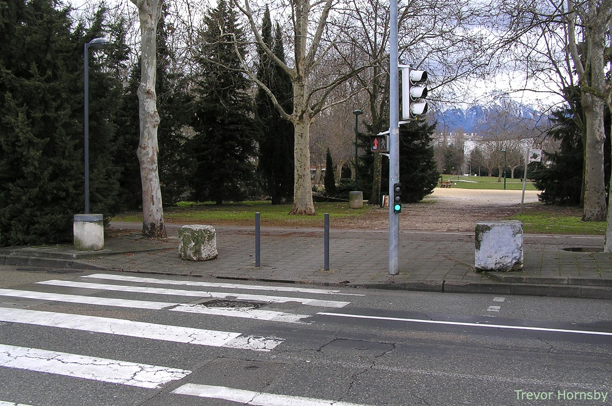
58- Pompidou park entrance, once the Bayard Barracks.
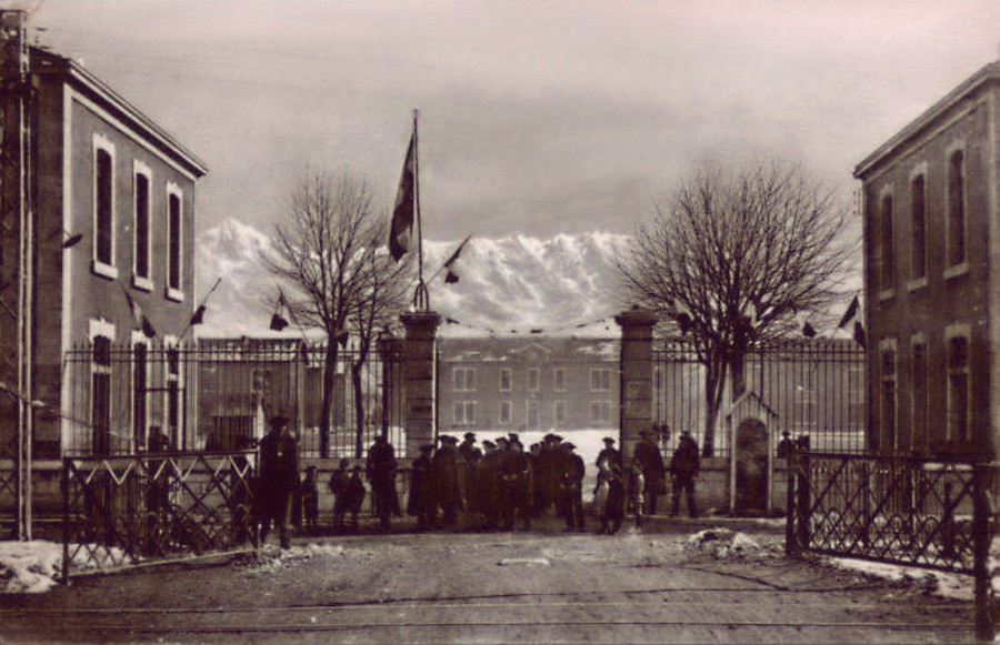
59- Looking across the Rochambeau crossing to the Bayard Barracks.
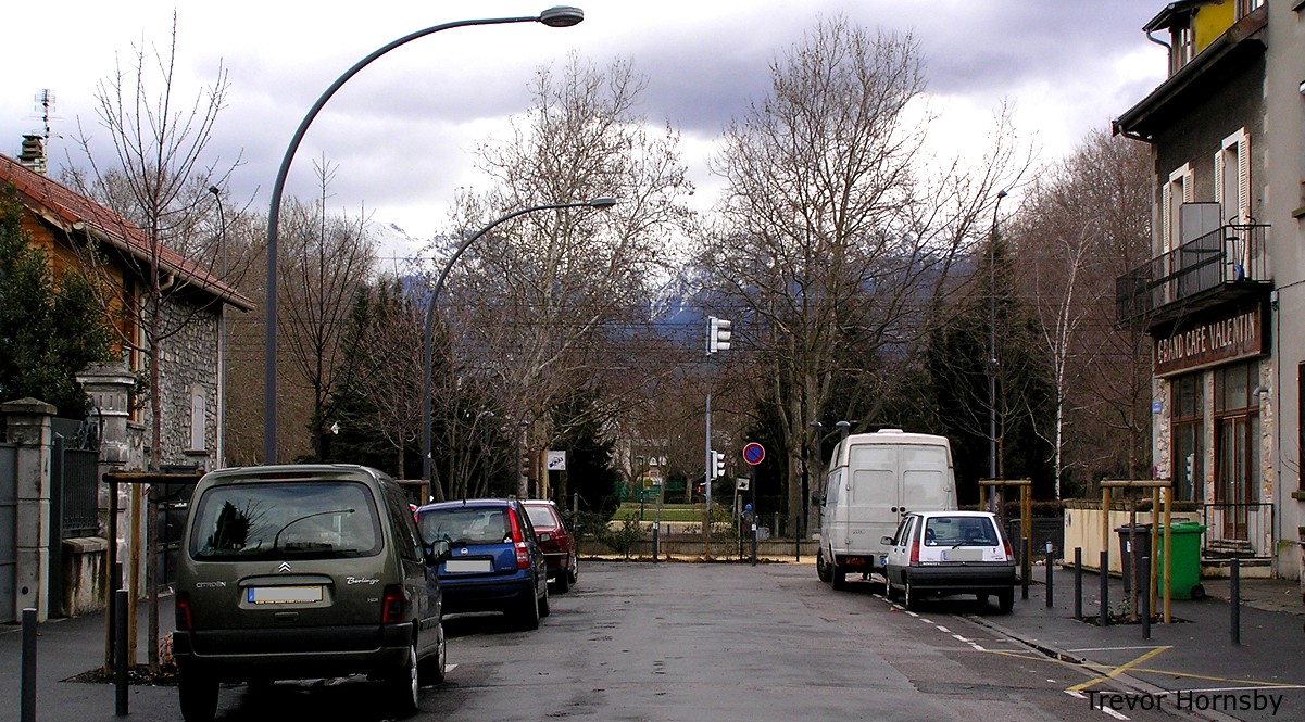
60- Looking to the end of the Rochambeau road, the crossing has gone.
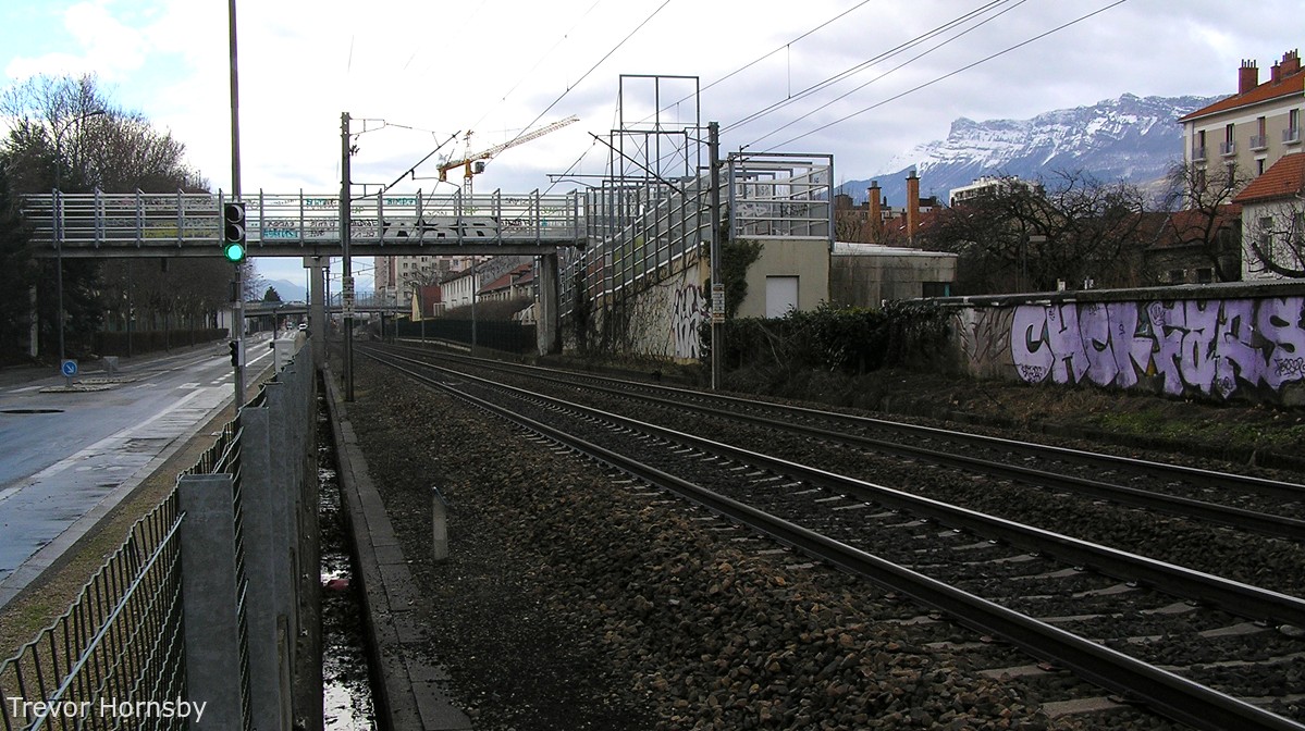
61- An overhead passage for Sidi Brahim.
62- General Mangin road next to the Sidi Brahim schools.
63- Photo taken in 1967. On the right, the Bayard Barracks.
64- Next to the Allies bridge, a bit of the barracks wall.
Between Boulevard Marshall Foch and Allies
road, the railway runs past Georges Pompidou Park, not only a vast
green open space but also flats, houses, a retirement home and sporting
facilities. Previously this area was occupied by the
Bayard-Reyniès barracks.
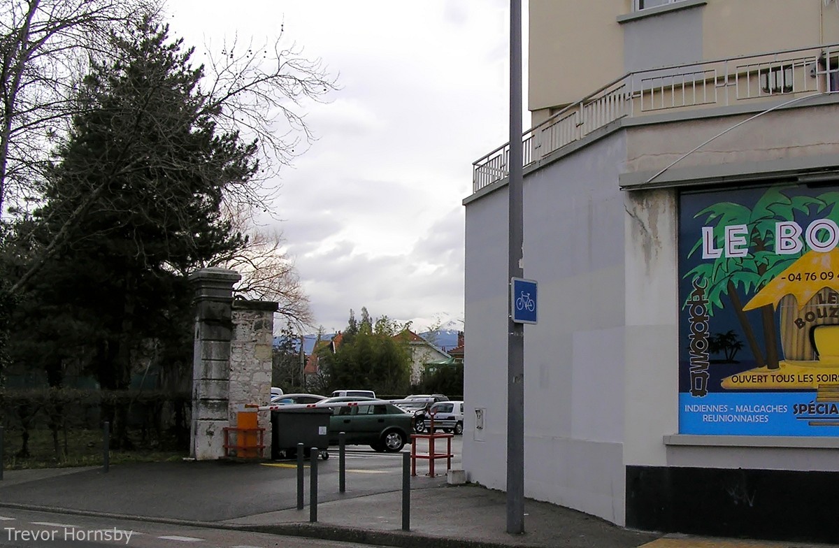
As you can see in the picture, the entrance of the barracks was from Rochambeau Avenue via a level crossing. This street is now a dead end, but a pedestrian underpass has been created instead. If you look at the photos of the park entrance, you can see some stones, probably from the entrance to the military compound. The trees, so small in the postcard are perhaps the same 'Platanes' that can be seen on the current image. In any case, they are in the same place. The crossing keeper's house has also been preserved.
Sidi Brahim schools, from the 1967 picture, have not changed either, but to facilitate access from the new residential area, a pedestrian bridge has been built. There are still some fragments of the barracks wall, including a pillar, behind a restaurant at the corner of Allies road.
We have arrived at Allies bridge, a major thoroughfare for access to the wholesale market, established in 1963, and which was also useful to access the Olympic Village from the 'Cours de la Libération' in 1968. Our route continues on the General Mangin road.
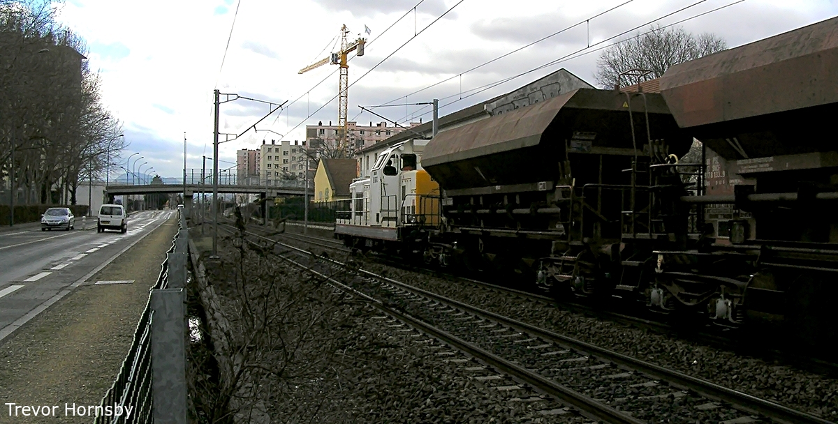
65- A train of hopper wagons approaching the Allies bridge.

66- A freight train, the BB 475050, goes under the Allies bridge, a Semitag bus crosses it.


Some Internet Links:
- http://www.hannibal-dans-les-alpes.com/
- http://1900anosjours.hpsam.info/photos/grenoble/exposition-internationale-1925.php
- http://insitu.revues.org/217#tocto1n2
- http://www.rocadesud.com/realisations/?actmenu=estacade&ID_rubrique=4
- http://www.artmajeur.com/?go=artworks/display_mini_gallery&image_id=2564745&login=nesse
- http://www.arcachon-nostalgie.com/roger_expert.htm
- http://insitu.revues.org/217#tocto1n2
- http://histoire.trains-en-vadrouille.com
- http://www.euro-photos-trains.com/sncf67300BBC.htm
- http://cccp.trainprovence.free.fr/cccp/article-alpazur2007.html
- http://clode.chez-alice.fr/fretgrenoble.htm
- http://www.lineoz.net/forum/viewtopic.php?f=3&t=3657&start=0
- http://membres.multimania.fr/stephanerevel/histo.htm
- http://www.ville-st-martin-dheres.fr/industrialistation.html
- http://emmatortue.wordpress.com/2009/05/15/ces-biscuits-ont-fait-les-delices-de-mon-enfance/
- La Vie du Rail, N°'s 1104, 1129, 1131 et 1137, Éditions NM Paris, 1967 et 1968.
- Le Bassin du Drac, Auguste Bouchayer. Revue de géographie alpine. Tome 13 N°3. pp. 549-621. 1925.
- Histoire Populaire de Grenoble, Alphonse Vernet. Gratier, 1896.
- Le Chemin de Fer de Grenoble à Villard de Lans. Philippe Guirimand et Patrice Bouillon, 2000.
- Grenoble Autrefois, Jean-Jacques de Corcelles. Horvath, 1996.
- Une Industrie dans la Ville, Bouchayer & Viallet à Grenoble. Hervé Bienfait. Libris, 2004.
- L'Illustration Economique et Financière, numéro spécial, Grenoble et l'Isère, 1923.
- Les Voies Ferrées du Dauphiné, Henri Boyer et Patrice Bouillon, 1983.
- Guide Catalogue Officiel de l'Exposition Internationale de la Houille Blanche et du Tourisme, Saumane 1925.
- Grenoble Autrefois, Claude Muller, Editions des Quatre Seigneurs, 1974.
- Du Tram au Tag, JM Guétat, W Lachenal, G Muller, La Vie du Rail,1987.
